
Viewing Drone Data
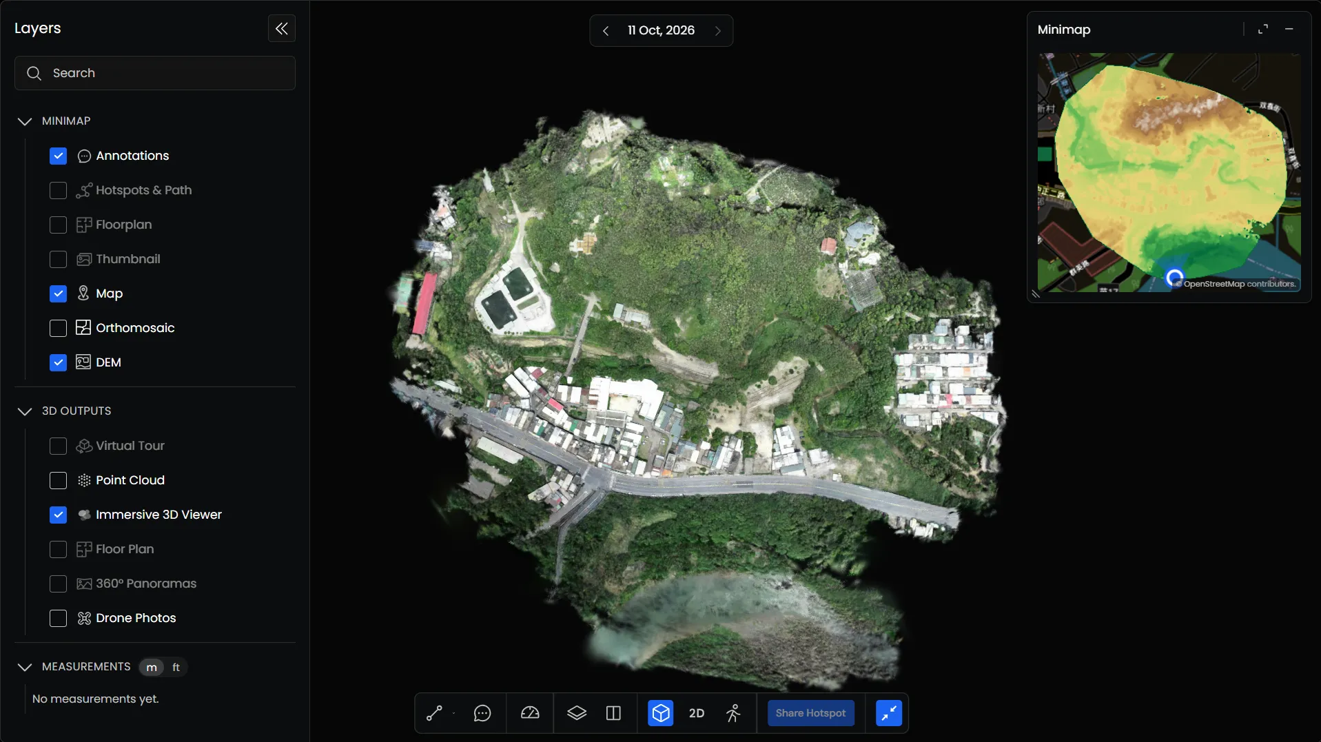
The Preimage Viewer lets you view and interact with drone data, including 3D outputs, 2D mapping outputs, and original drone photographs.
You can access these outputs through the Layers panel.
Viewing Drone Outputs
Drone outputs are organized into 3D Outputs and Minimap in the Layers panel.
3D Outputs
Under 3D Outputs, you can access available 3D data, such as Point Clouds and 3D models.
Select the output you want to display using the checkbox in the Layers panel. The selected output appears in the Viewer.
2D Outputs
Under Minimap, you can access 2D outputs such as Orthomosaics, Digital Surface Models (DSM), Digital Terrain Models (DTM), and Digital Elevation Models (DEM).
Check or uncheck the available layers to control what appears in the Minimap. You can also display multiple layers together.
Viewing Drone Photos
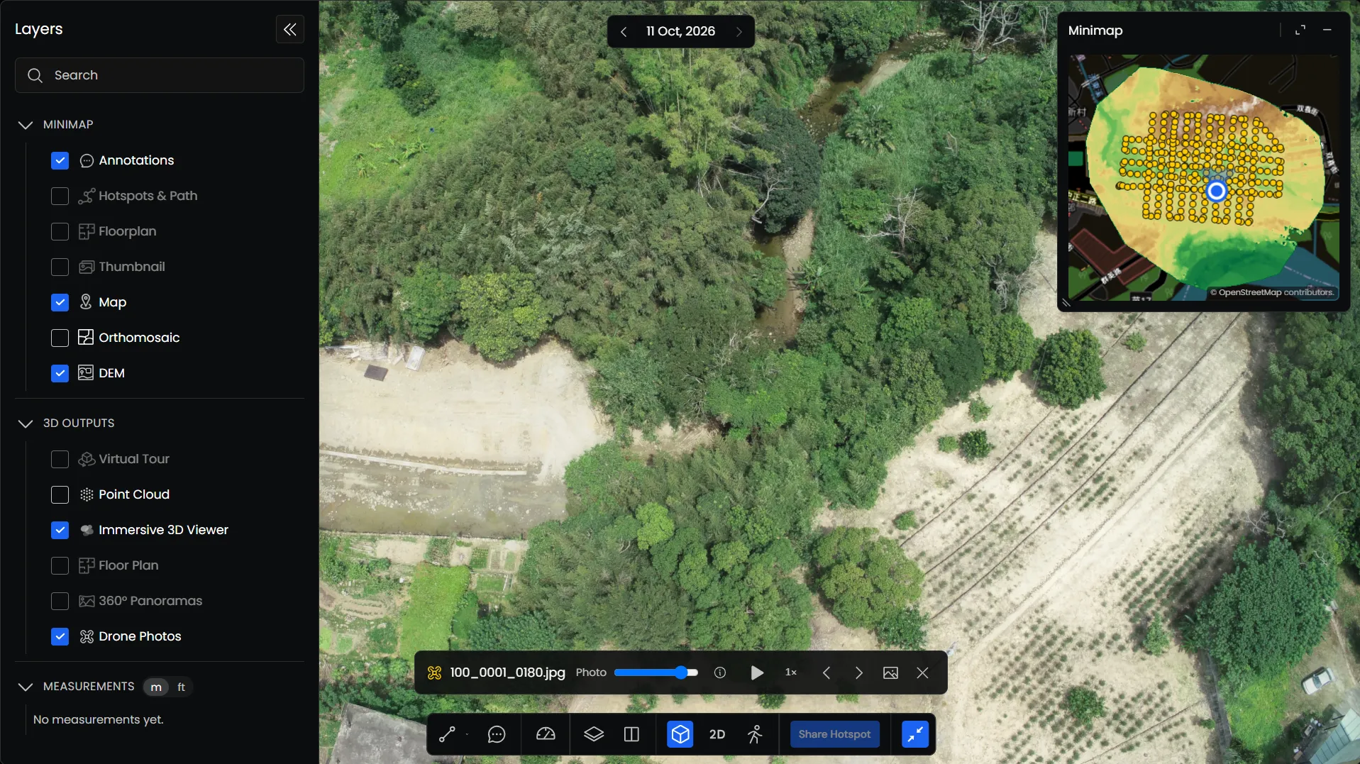
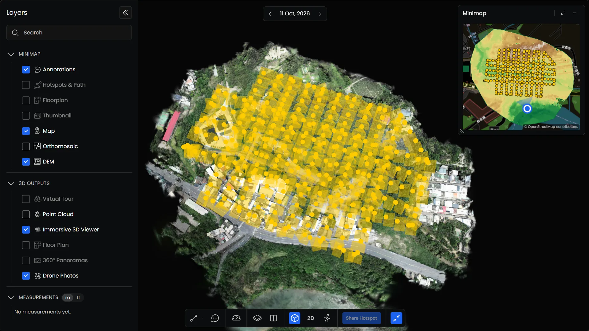
The Drone Photos feature lets you view the original photographs captured during a drone survey.
When you enable Drone Photos under 3D Outputs, photo locations appear in both the Viewer and the Minimap.
Click on a photo marker in either view to open the corresponding photograph.
Navigating Between Photos
When a photograph is open, a toolbar appears at the bottom of the Viewer.
You can use it to:
- Previous / Next: Move between photographs.
- Play: Automatically move through the photographs.
- Playback Speed: Adjust the playback speed.
- Photo Information: View details of the selected photograph.