

Improving Model Quality Issues
First identify whether the problem is visibility, scale, alignment, capture coverage, or classification. These need different fixes.
Check the viewer
- Select the correct scan date and enable the required output in Layers.
- Check whether a crop box or hidden segmentation classes are excluding the area.
- Compare a known distance with a Reference measurement to check scale.
- Check the floor, orientation, and reference drawing before interpreting an alignment offset as a site deviation.
See Taking Measurements and BIM & Floorplan Comparison.
Check capture coverage
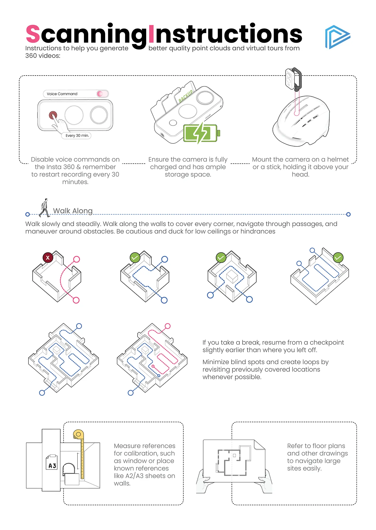
For 360° video, review dark areas, abrupt motion, disconnected routes, and missed rooms. Glass, mirrors, and hidden surfaces may not reconstruct reliably. Capture extra coverage where possible.
For drone photographs, check sharpness, overlap, coverage at the site edges, and views of important vertical surfaces. Keep original metadata intact.
Check classifications
Compare Class Colors with Real Colors in the segmentation panel. An incorrect class label is different from missing geometry. Record the location and expected class when reporting a classification issue.
Request a review
Send support the scan link, screenshots of the affected area, and any independent measurements or reference drawing. Confirm whether a recapture is needed before repeating a large survey.